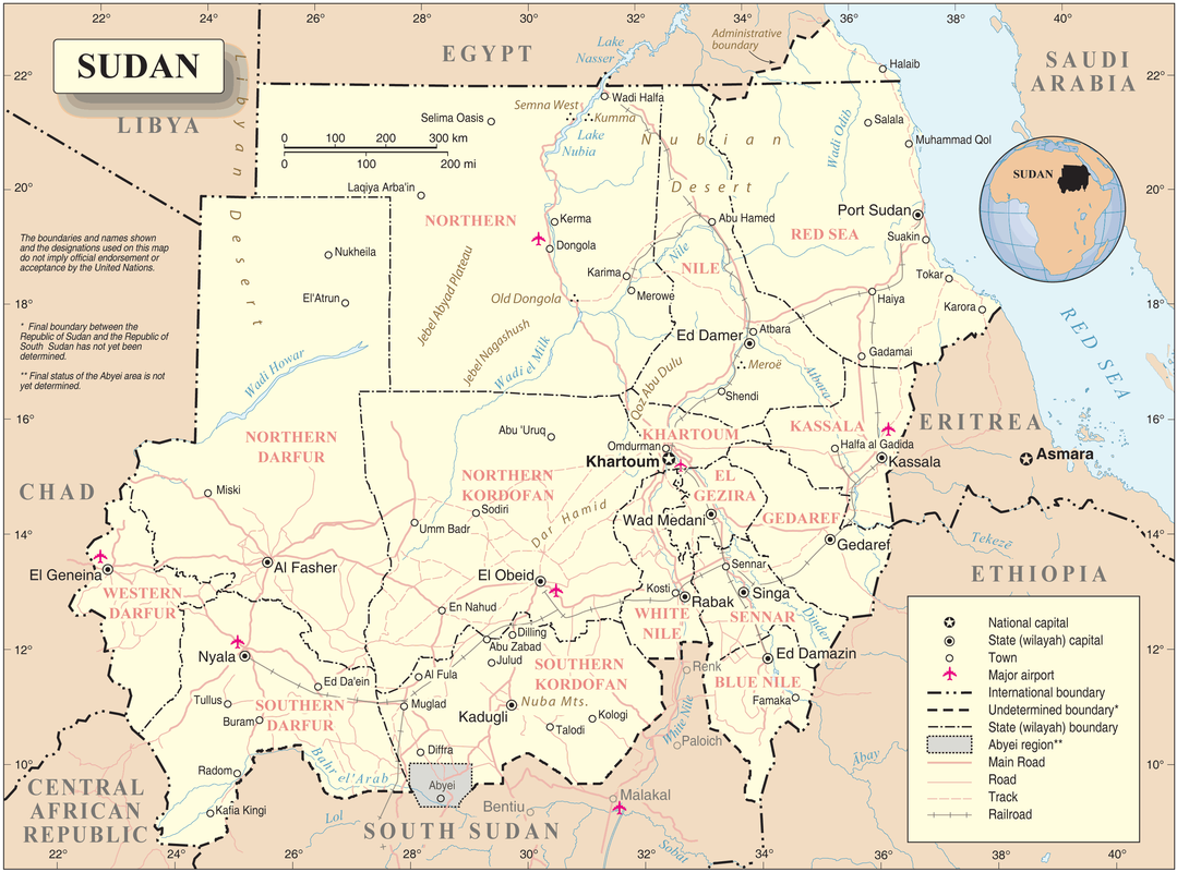
Here is a Political map of Sudan. Sudan is bordered by 7 countries. These countries are South Sudan, Ethiopia, Eritrea, Central African Republic, Chad, Libya, and Egypt. Egypt is located to the north of Sudan, Libya to the north west, Chad to the west, South Sudan to the south, Eritrea to the east, Central African Republic to the south west, and Ethiopia to the south east.
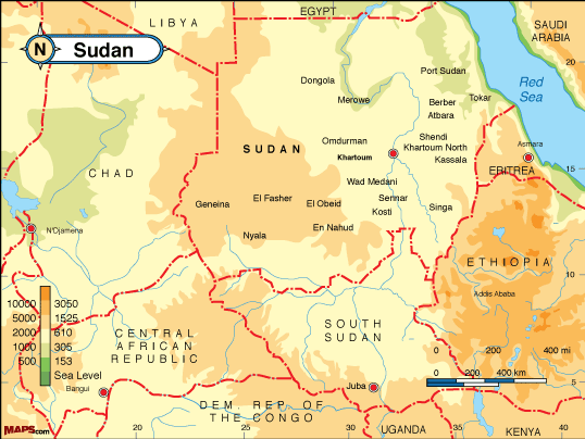
Here is a physical features map of Sudan. The Nile River runs all the way through Sudan. There are a few mountains located in the western area of Sudan. The Red Sea is located to the North West of Khartoum.
Climate
The climate is tropical with temperatures up to 100 Fahrenheit. The Northern part of Sudan is Arid Desert. The Central part is tropical wet and dry type climate. Southern Sudan has a tropical climate with grassland, marshland, and rainforest. Most of the population lives near the capital in the Tropical wet and dry climate. This climate offers good jobs and travel more so than the rainforest and desert. Most of the people in Sudan are subsistence farmers but some have jobs in marketing and oil workers. The best type of transport that people use in urban areas is bus but in rural areas some travel by camel or donkey.
